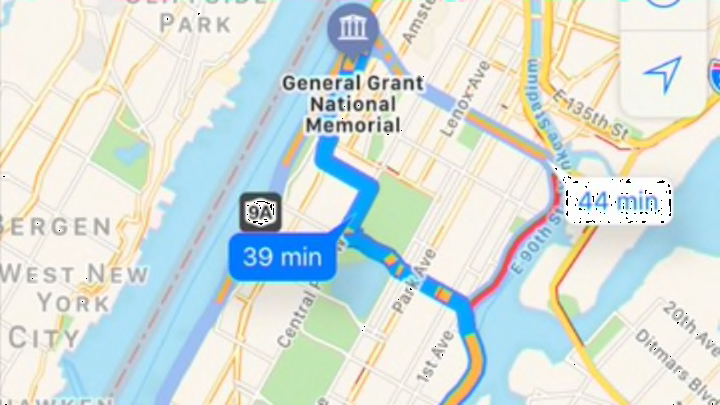
How Does Google Maps Know Where Traffic Is?

Before you leave the house in the morning, a quick glance at Google Maps can tell you which routes should be avoided at all costs and which ones might get you to work a few minutes early. Google Maps can even tell you how long you can expect to be delayed should you take a route that’s more congested than usual. How can it possibly know up-to-the-minute information about your day-to-day travel plans?
The answer is one part creepy, one part cool: Google gets its information from you, according to Business Insider. The company uses the Location Services function on Apple and Android phones to track your coordinates. If you have the Location Services capability enabled for Google Maps, you're constantly sending real-time data about your whereabouts and the time it takes you to get from place to place. Google combines everyone’s data to determine the concentration of cars on the roads and how fast they are moving. (Or aren’t moving, depending on your situation.)
Over time, Google has compiled all of this traffic information to create traffic histories, which is how it can tell you if traffic is running slower or faster than “normal.” It also uses information gleaned from the Waze app, which includes updates from Departments of Transportation from across the country—that’s why Google Maps can pinpoint specific accidents.
If this is all a bit too Big Brother for your liking, you can simply disable Location Services on your phone—but you'd better hope that everyone else doesn't follow suit, or else Google's impressive calculations would be rendered completely useless.